Location
Located in the eastern Himalayas, Sikkim is bound by Tibet (China) in the north, West Bengal in the south, Tibet and Bhutan in the east, and Nepal in the west. The state is spread below Mount Kanchenjunga (8,534 m), the third-highest peak in the world. It is cut into steep escarpments in the north, except in the Lachung and Lachen valleys, which are thinly populated. The Rangeet and the Teesta are the state's major river systems that cut through the valleys. Many hot water springs like Phur-Cha, Ralang Sachu, Yumthang, and Momay are also available in Sikkim. The snowline starts at around 5,248 meters in Sikkim.
History of Sikkim
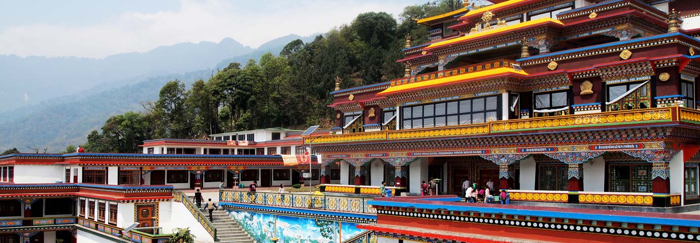
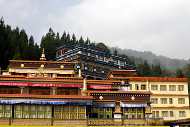
Buddhism, the major religion in Sikkim, arrived from Tibet in the 13th century. It took its distinctive Sikkimese form four centuries later, when three Tibetan monks of the old Nyingamapa order, dissatisfied with the rise of the reformist Gelupas, migrated to Yuksom in western Sikkim. Having consulted an oracle, they went to Gangtok looking for a certain Phuntsong Namgyal, whom they crowned as the first Chogyal or 'Righteous King' of Denzong in 1642. He was soon recognized by Tibet and brought sweeping reforms. His kingdom was far larger than today's Sikkim and included Kalimpong and parts of western Bhutan.
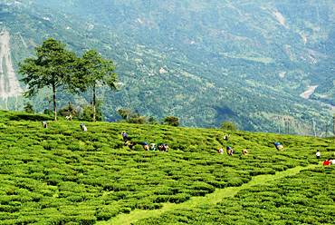
Over the centuries, the territory was lost to the Bhutanese, the Nepalese, and the British. The British policy to diminish the strong Tibetan influence resulted in the import of workers from Nepal to work in the tea plantations of Sikkim, Darjeeling, and Kalimpong, and these soon outnumbered the indigenous population.
After India's Independence, the eleventh Chogyal, Tashi Namgyal, strove hard to prevent the dissolution of his kingdom. Officially, Sikkim was a protectorate of India. However, India's role became increasingly crucial with the Chinese military build-up along the northern borders, culminating in an invasion early in the 1960s. The next king Palden Thondup was a weak ruler and, in 1975, succumbed to the demands of the Nepalese majority of becoming a part of India.

