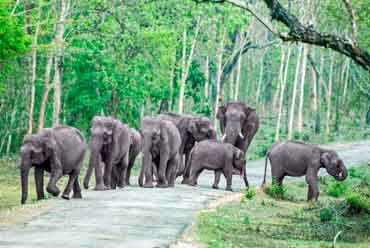
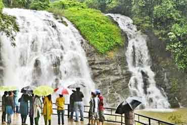
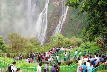
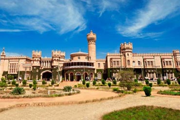
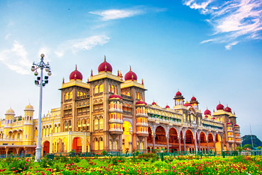
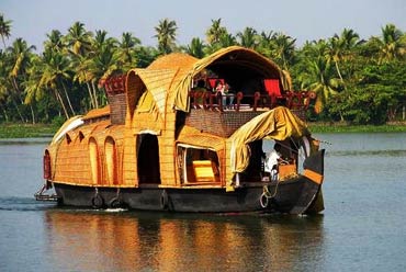
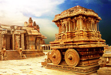
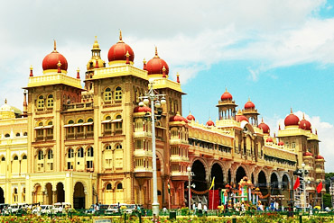
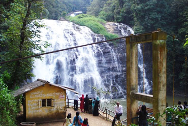
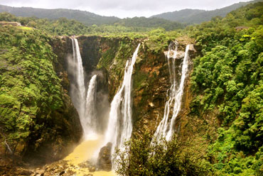
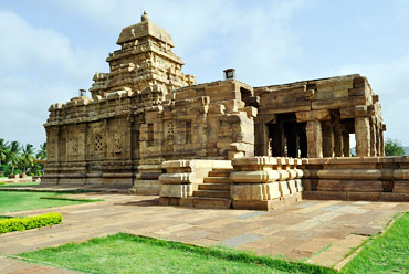
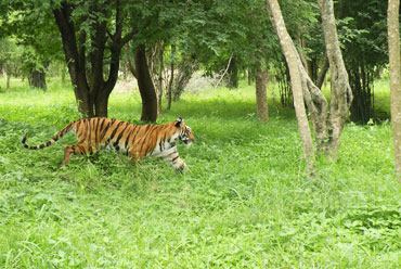
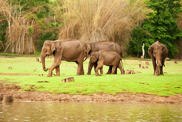
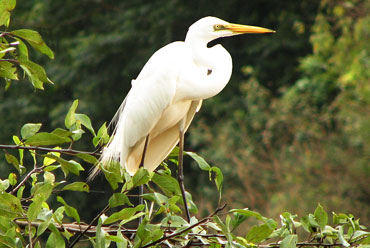
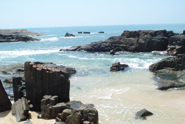
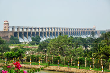
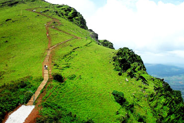
Think of Karnataka and myriad beautiful images come to mind-the old world charm of villages and towns; friendly rural folk; misty mountain ranges of the Western Ghats; lovely waterfalls at Jog and Sivasamudra; cacophony of migratory birds at Ranganathittu; call of the wild at Bandipur and Nagarhole; and the mild aroma of teak, ebony and rosewood in the forests. The state is steeped in tradition yet is one of the forerunners of the information technology revolution in the country.
Location
Karnataka is the eighth largest state in India. Located in the southern part of the country, it is surrounded by other states like Maharashtra and Goa in the north, Tamil Nadu and Kerala in the south, Andhra Pradesh in the east and the Arabian Sea in the west. The state of Karnataka is situated approximately between the latitudes 11.5° and 18.5° North and the longitudes 74° and 78.5° East.
The state of Karnataka is part of two well-defined regions of India, namely the Deccan Plateau and the Coastal Plains and Islands and it can be further divided into four physiographic regions-the Northern Karnataka Plateau, Central Karnataka Plateau, Southern Karnataka Plateau, Karnataka Coastal Region.
The Northern Karnataka Plateau, at an elevation of 300 to 600 meter, is largely composed of the Deccan Trap. It represents a monotonous, treeless extensive plateau landscape rich in black cotton soils.
The Central Karnataka Plateau is the area between the Northern and Southern Karnataka Plateaus, which results in the general elevation varying between 450 and 700 meter. This region represents the area of the Tungabhadra basin.
The Southern Karnataka Plateau covers the area of the Cauvery river basin lying in Karnataka and is encircled by the Western Ghats in the west and south. The region is situated between 600 and 900 meter above sea level.
The coastal plains and the Western Ghats constitute the Karnataka Coastal Region. The coastal stretch, with an average width of 50 to 80 km, covers about 267 km from north to south.
The state boasts of a wide range of topological features. There are chains of mountains, the highest being the Mullayyana Giri (1,925m). Other than the mountains, there are plateaus, residual hills and coastal plains.
The state possesses six percent of the total water resources in the country as there are many rivers flowing through it. The most famous among them are the Krishna, Cauvery, Godavari, North Pennar, South Pennar and Palar.
History
Evidences from the pre-historic ages indicate that the culture of Karnataka had much in common with the civilization of Africa and is quite distinct from the pre-historic culture of North India. Iron weapons dating back to 1200 BC found at Hallur in Dhaward district point to the inhabitants of the early state using iron much before the metal was introduced in the northern parts of the country.
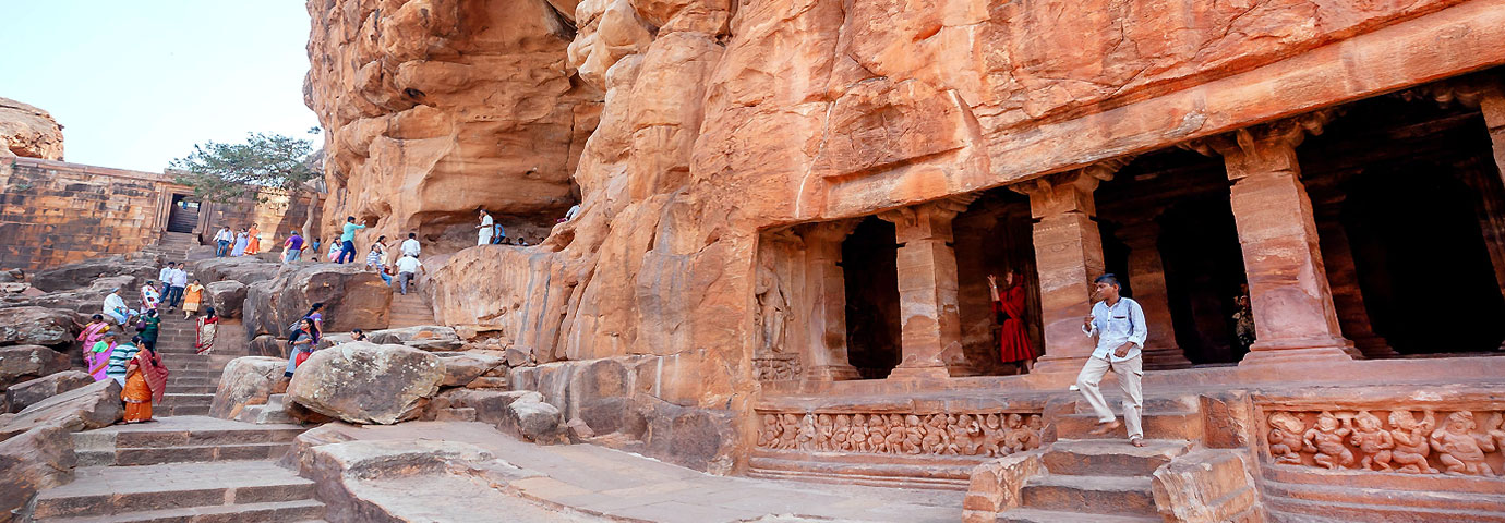
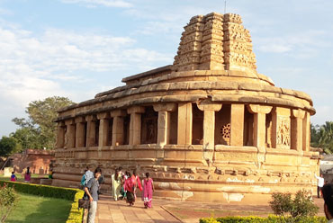
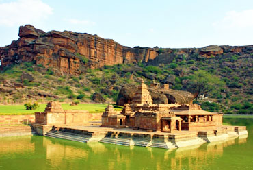
The early rulers of Karnataka were predominantly from North India. Parts of Karnataka were subject to the rule of the Nandas and the Mauryas. It is believed that Chandragupta Maurya came down to Sravanabelgola after renouncing his empire. Proof of this are the Ashokan edicts scattered all over the land. After the Kadambas who first laid the foundation of a political empire in Karnataka, came the great Chalukyas of Badami, of whom Pulakesin II was the most illustrious.
The Rashtrakutas who followed were no less a powerful dynasty. Consider the pinnacle of their achievement, the rock-cut Kailasanathar temple of Ellora. Renowned among the Rashtrakuta kings, is Amoghavarsha Nrupatunga of the 9th century, under whose benevolent patronage was published the 'Kavirajamarga' (Royal Road to Poetry).
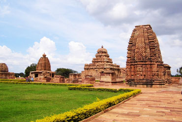
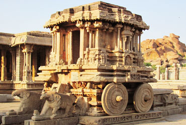
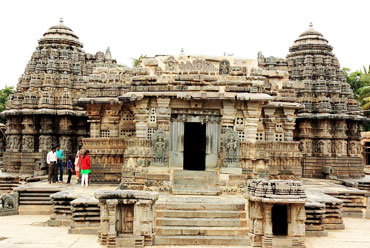
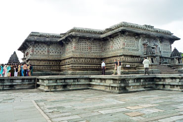
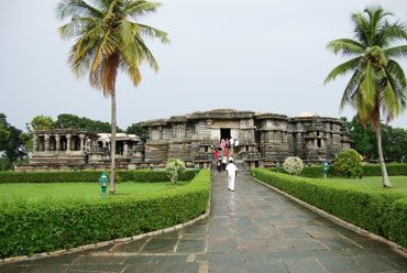
Nevertheless, it was the Badami Chalukyas whose style of architecture and patronage of the arts really made way for Kannada and Karnataka to flourish. And descendents to this tradition of patronage were the Hoysalas, whose poetry endures in the temples of Halebid and Belur and in the one perfect jewel at Somnathpura.
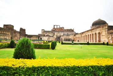
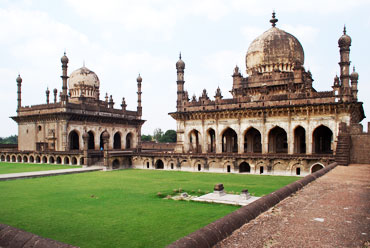
It was Mohammed bin Tughlaq who, in 1327, took over Halebid and the impact that his army had on the intricately built temple is evident even today, less than 600 years later. After this, Mysore was in a swing for a great number of centuries with alternating Hindu and Muslim rulers. A recognized peak in the Hindu kingships came with the success of the Vijayanagar Empire, which was at its prime in the 1550s. Not much later, though, the Deccan sultans took over Hampi, the capital of Vijayanagar.
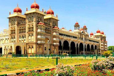
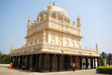
The most prolific rulers after the Vijayanagar kings were the father-son duo of Haider Ali and Tipu Sultan in the 18th century. They overthrown the Wodeyar kings of Mysore and established their new capital at Srirangpattnam. They were the first rulers in India who recognized the importance of scientific warfare and took the services of French to defeat the English. After long drawn fighting with the English, Haider Ali was defeated in 1799, but the heroism and progressive culture that he and his father gave is a legacy still maintained by the people.
During the British rule, Karnataka was a part of the Madras Presidency and it became a new state only in 1956. It was name of Mysore and added some districts from the former Bombay Presidency. The state was renamed Karnataka in 1971.

